Updated on: 2025-10-04
Table of Contents
- Product spotlight: marine navigation charts that balance ENC and paper use
- Step-by-step: how to read marine navigation charts
- Personal experience: confidence from marine navigation charts in changing weather
- Summary and recommendations for marine navigation charts
-
Q&A: marine navigation charts, ENC vs paper, and chart-reading tips
- How do you read marine navigation charts and their symbols?
- What is the difference between electronic navigational charts and raster/paper charts?
- What are the best marine navigation charts for offshore sailing vs coastal waters?
- Where can I find free downloadable marine navigation charts for coastal waters?
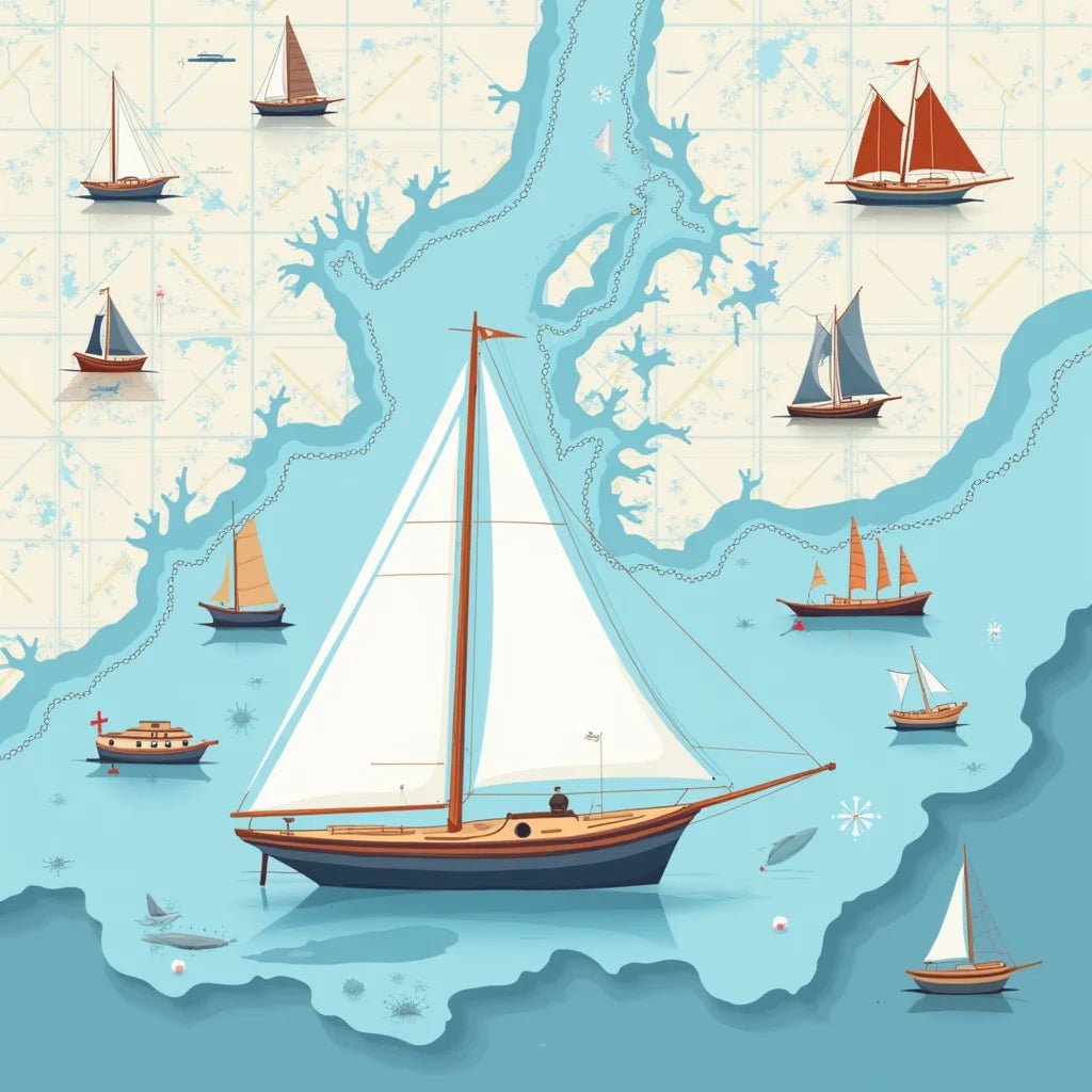
Marine navigation charts are the quiet foundation of good seamanship. Whether you call them nautical charts or sea charts, these detailed maps help you visualize depth, bottom features, hazards, and routes. If you are deciding between electronic navigational charts (ENC) and paper nautical charts, this guide offers plain-language help. We will walk through reading symbols, planning a course, and choosing the best marine navigation charts for offshore sailing and for coastal waters. The aim is to support safe, confident decisions on the water with steady, respectful guidance.
Product spotlight: marine navigation charts that balance ENC and paper use
For many boaters, the most practical setup blends a primary electronic system with a simple, reliable paper backup. A thoughtful option is a waterproof folio that pairs paper nautical charts for your region with a QR reference sheet of ENC resources. This is not about collecting gear for the sake of it. It is about having a calm, redundant plan.
Why this balanced approach helps:
- Redundancy when power or electronics fail. A dry paper set remains legible if your plotter restarts or a device battery drains.
- Clear big-picture planning. Sea charts on paper open flat, making route overviews, contingency waypoints, and visual fixes easy to sketch.
- Modern updates and detail. ENC layers are powerful for live positioning, scale transitions, and quick zoom into soundings, wrecks, and cables.
Many navigators keep a waterproof chart case on deck with a grease pencil and dividers. Then they set the helm electronics to an ENC base layer with a few select overlays (depth contours and navaids), avoiding clutter.
Top benefits of marine navigation charts in a waterproof folio
- Stays usable even in spray and rain.
- Encourages pre-trip planning that does not depend on a screen.
- Supports safe sharing of the plan: crew can all see the route on one surface.
If you are considering a purchase, it may be helpful to first review store policies to feel at ease. Shipping details are available in the shipping policy. If you like to understand returns in advance, you can review the refund policy. You can also visit the home page to explore related gear, and find privacy details in the privacy policy.
Step-by-step: how to read marine navigation charts
These steps are designed to be gentle, repeatable, and clear. They work with both paper nautical charts and electronic navigational charts (ENC), so you can switch calmly between formats.
- Set the scale you need. On paper, choose the chart that matches your cruising area and intended detail. On ENC, zoom until depths and aids are clear without clutter. Offshore usually favors smaller scales (broader area), while harbor entry favors larger scales (more detail).
- Check the chart datum and units. Note the vertical datum for soundings and the horizontal datum for positions. Confirm units (feet, meters, fathoms) to avoid misunderstandings.
- Identify hazards and no-go zones. Look for rocks, wrecks, cables, restricted areas, and drying banks. Use contour intervals to visualize where your boat’s draft leaves minimal clearance.
- Plan a primary track with generous margins. Sketch a route on paper or create waypoints on ENC that keep you in safe water, avoiding hazards by a wide buffer, not the minimum.
- Set contingency waypoints. Add bail-out stops, alternate anchorages, and a bad-weather harbor. Note safe bearings for quick use if visibility falls.
- Review navaids and bearings. Identify buoys, beacons, and ranges you expect to see. Mark transits or clearing bearings for critical turns.
- Cross-check tides and currents. Adjust timing to match favorable flow and adequate depth. If needed, shift your route window rather than compress safety margins.
- Brief the crew. Share a simple summary: route, hazards, waypoints, and what “stop” or “slow” means. Keep the paper chart open and the ENC display decluttered.
- Navigate with continuous awareness. Compare the ENC fix to visual cues and depth soundings. If something does not look right, slow down, hold position if safe, and reassess the chart.
- Record lessons learned. After the trip, add notes to your paper chart or route file so your next passage is even smoother.
Tools for reading marine navigation charts
- For paper charts: dividers, pencil, eraser, and a straightedge or parallel rulers.
- For ENC: a dedicated plotter or a well-charged tablet with offline capability.
- Backup: printed route notes and a small flashlight for night use.
Common chart symbols made simple
- Soundings: Numbers indicate depth. Confirm units and datum. Contour lines show shape of the seabed and how steep it gets near shore or banks.
- Navaids: Buoys and beacons are marked with shapes, colors, and letters. Cross-check the light characteristics (e.g., flashing intervals).
- Bottom types: Sand, mud, rock, shell, and weed are often abbreviated. This helps in choosing an anchorage.
- Obstructions: Wreck symbols, pipelines, submarine cables, and restricted zones are highlighted to keep you clear.
Personal experience: confidence from marine navigation charts in changing weather
One gentle reminder from time on the water is that confidence grows when plans are simple and visible. During an inshore passage, a squall line approached faster than expected. The ENC display showed our boat icon marching toward a harbor turn, yet the rain was closing in.
Because the paper sea chart was open on the cabin table, our crew could see the big picture at a glance. We traced a pre-marked alternate route that followed deeper contours along a safe transit line. The shift was calm and unhurried. ENC then carried the load for precise positioning, while the paper chart guided strategic choices. That combination—marine navigation charts in both formats—felt steady and reassuring.
A calm approach to fog with marine navigation charts
On another day, fog reduced visibility near a headland. The ENC showed us on the intended track, but it was the clearing bearing we had written beside a lighted buoy on the paper chart that kept us clear of a known shoal. Reading a few symbols well and preparing simple bearings ahead of time made the moment feel manageable. Small steps like this create quiet confidence.
Summary and recommendations for marine navigation charts
Marine navigation charts serve two linked goals: awareness and decision-making. Electronic navigational charts (ENC) shine for live positioning, dynamic layers, and quick scale changes. Paper nautical charts excel for overview planning, visual communication, and reliable backup. Both are valuable.
- For coastal trips, choose detailed harbor charts and keep a waterproof paper set for the entry and exit points you use most often.
- For offshore legs, a small-scale overview chart is helpful to visualize separation from hazards, while ENC handles waypoints and weather avoidance.
- If you are teaching yourself, begin with a short local route. Practice identifying symbols, contours, and bearings in fair weather first.
- Reduce ENC clutter. Show only the layers you need for that phase: depth contours, soundings, and aids to navigation.
- Review updates. If your ENC or paper edition has changed, note any new obstructions, relocated buoys, or altered depths.
If you would like to explore related gear or learn more about ordering and policies, the home page and policy links above may be useful. Choosing the best marine navigation charts for offshore sailing, then pairing them with a simple coastal pack, creates a flexible toolkit for many seasons.
Q&A: marine navigation charts, ENC vs paper, and chart-reading tips
How do you read marine navigation charts and their symbols?
Start with the chart legend or ENC help layer. Confirm the depth units and datum, then scan depth contours to understand the underwater shape. Read navaids by color, shape, and light characteristics. Note hazards such as rocks, wrecks, and cables. For anchoring, look for bottom types and suitable depth ranges. With ENC, toggle layers so only essential information is visible; with paper, circle hazards and write a few bearings or distances. Keep it simple and always cross-check with depth soundings and visual cues.
What is the difference between electronic navigational charts and raster/paper charts?
Electronic navigational charts (ENC) are vector-based. They allow zoom, selective layers, and dynamic detail. They pair well with GPS positioning and routing. Raster charts and traditional paper nautical charts show a faithful “scanned” or printed image of a chart at a specific scale. Raster and paper are excellent for big-picture planning and sharing a route with crew. ENC is powerful for live navigation and scale changes. Many mariners combine both: ENC for precision and paper for redundancy and overview.
What are the best marine navigation charts for offshore sailing vs coastal waters?
For offshore, a smaller-scale overview chart helps maintain wide clearance from hazards and visualize the entire leg. Pair it with ENC for detailed approaches to waypoints and weather routing. For coastal waters, large-scale harbor and approach charts are useful, supported by ENC for live positioning. This combination keeps planning and on-the-water execution aligned.
Where can I find free downloadable marine navigation charts for coastal waters?
Some national hydrographic offices provide free downloadable marine navigation charts for coastal waters or viewer tools. Availability varies by region, and licensing terms may differ. When using free sources, verify that the charts are current and suitable for navigation. If you rely on them, consider keeping a paper backup and checking for official updates on a routine schedule.

Owner and CEO of Clinch River FIshing USA. A marine electroncs, fishing and outdoor store.

