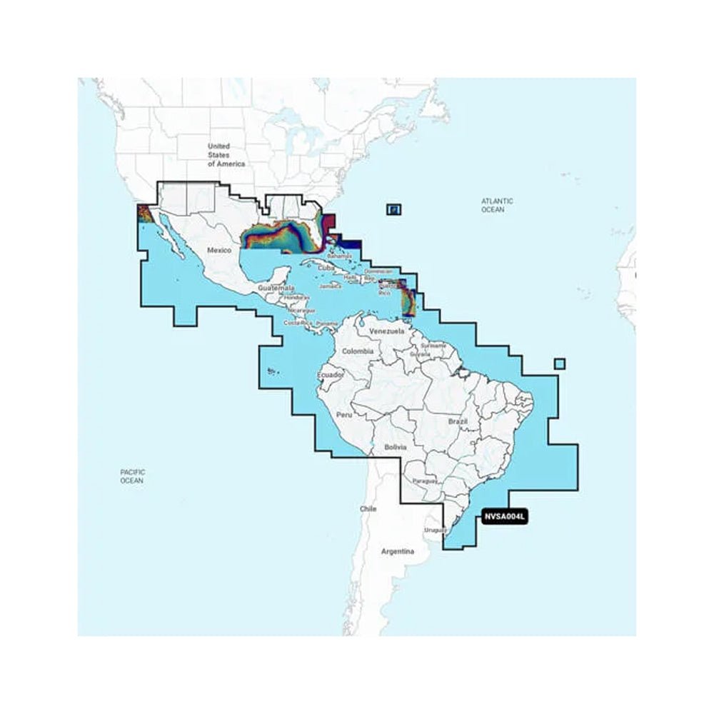
Navionics Vision+ NVSA004L pairs inland lake maps with offshore marine charts for Garmin chartplotters, covering Mexico, the Caribbean to Brazil. It’s designed for mariners who navigate both waterways and open seas, delivering clear plotting, faster routing, and up-to-date data.
-
Comprehensive coverage: Offshore routes plus detailed inland lake maps for Garmin chartplotters across Mexico, the Caribbean, and Brazil.
-
Customizable viewing: Mix and match chart layers and overlays to tailor the map to your needs.
-
One-year subscription: Includes daily updates via the ActiveCaptain smart-device app so you stay current.
-
Auto Guidance+ technology: Suggested dock-to-dock routings through channels, inlets, and marina entrances for safer navigation.
-
Depth-aware planning: Up to 10 color-shaded target depth ranges to identify productive fishing zones and safe passages.
-
Precise bottom detail: Up to 1' contours for crisp depiction of bottom structure and improved harbor-to-channel precision.
-
Shallow-water shading: User-defined depth shading to help avoid hazards and stay in safe waters.
-
NOAA raster cartography (select U.S. waters): Free downloadable views via ActiveCaptain for paper-chart-like familiarity on your plotter.
-
Community-sourced POIs: Boaters share marinas, anchorages, hazards, businesses, and more for practical on-water decisions.
-
Advanced imagery: Downloadable shading, sonar imagery, and high-resolution satellite imagery for richer situational awareness.
-
Rich visual context: Aerial and surface photos of ports, bridges, docks, ramps, and landmarks to orient you above water.
-
Worldwide coverage: Integrated Garmin and Navionics content for dependable mapping wherever you roam.
-
Regular updates: Up to 5,000 updates each day to keep charts fresh and enhanced with new content.
-
Comprehensive navigation tools: From Auto Guidance+ routes to depth shading and detailed bottom imagery to support smarter passages and prime fishing spots.
-
Up-to-date integration: Daily updates and rich overlay data for confident exploration on inland and coastal waters.
-
Seamless chartplotter upgrade: Integrated mapping designed for mariners who demand clarity, detail, and dependable performance on every voyage.
With Navionics Vision+ NVSA004L, you gain a single, richly layered map experience that covers both inland lakes and coastal/offshore waters. Expect clearer plotting, faster routing, and up-to-date information daily via ActiveCaptain, helping you plan safer passages, locate productive fishing areas, and navigate unfamiliar ports with confidence. The depth-aware features and high-detail bottom imagery enhance fishing decisions and harbor-to-channel navigation, while community-sourced POIs and high-resolution imagery provide practical, real-world context for every voyage across Mexico, the Caribbean, and Brazil.