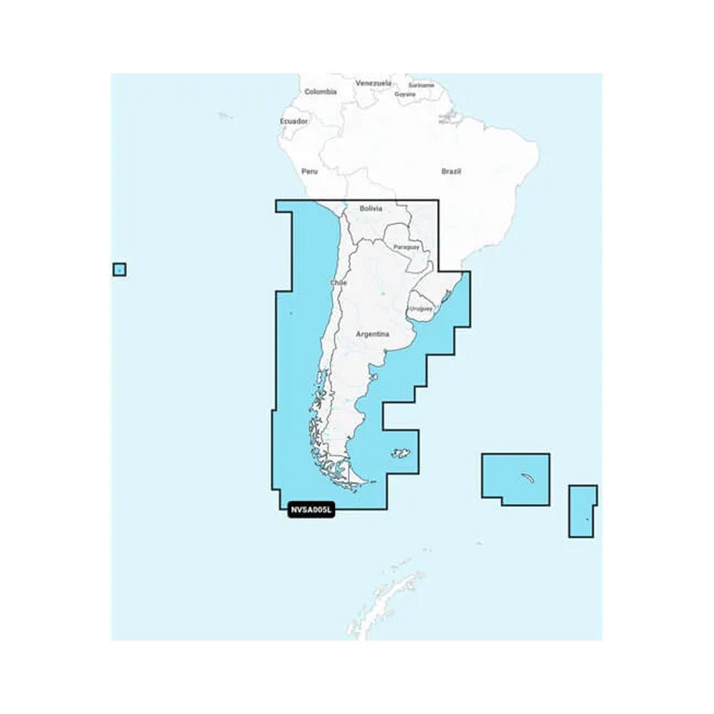
Navionics Vision+ NVSA005L delivers immersive, up-to-date marine charts for Chile, Argentina, and Easter Island, designed for Garmin chartplotters to empower precise and confident navigation on every voyage.
-
Comprehensive coverage: offshore routes, coastal areas, inland lakes, rivers, and more—designed to work seamlessly with your Garmin chartplotter for versatile navigation.
-
Auto Guidance+: dock-to-dock routing suggestions through channels, inlets, marina entrances, and beyond with confidence.
-
Customizable depth view: choose up to 10 color-shaded target depth ranges to quickly identify fishing hotspots and safe passages.
-
High-detail bathymetry: up to 1' contours for precise bottom structure, enhancing fishing charts, swamps, canals, harbors, and marinas.
-
Depth shading & depth-aware visibility: user-defined depths shaded to highlight shallow zones and potential hazards.
-
Community insights: access POIs from fellow boaters, including marinas, anchorages, hazards, and businesses for real-world guidance.
-
ActiveCaptain daily updates (one-year subscription): daily chart updates and new content downloads, keeping charts current; up to 5,000 updates daily.
-
Rich imagery: downloadable high-resolution satellite imagery and 3D perspectives show ports, docks, bridges, ramps, and navigational landmarks above and below the waterline.
-
Adaptive views: switch between 3D surface and underwater perspectives, and adjust maps to the lake’s current water levels for better accessibility assessment.
-
Integrated content: a seamless blend of Garmin and Navionics data delivers globally relevant coverage with enhanced routing features.
With Navionics Vision+ NVSA005L, you gain a comprehensive, Garmin-ready charting solution for South America’s coastlines and Easter Island. Daily updates via ActiveCaptain ensure your charts reflect the latest depths, new POIs, and new content, with up to 5,000 updates daily. Auto Guidance+ provides safe dock-to-dock routing through channels, inlets, and marina entrances, improving passage planning and reducing guesswork. The combination of 1' contour bathymetry, depth shading, and customizable depth views enhances fishing planning and safe navigation, while rich satellite imagery and 3D perspectives give clear situational awareness of ports, docks, bridges, ramps, and navigational landmarks above and below the waterline. Community-sourced POIs add practical, real-world guidance, and the integrated Garmin-Navionics data delivers globally relevant coverage with enhanced routing features.