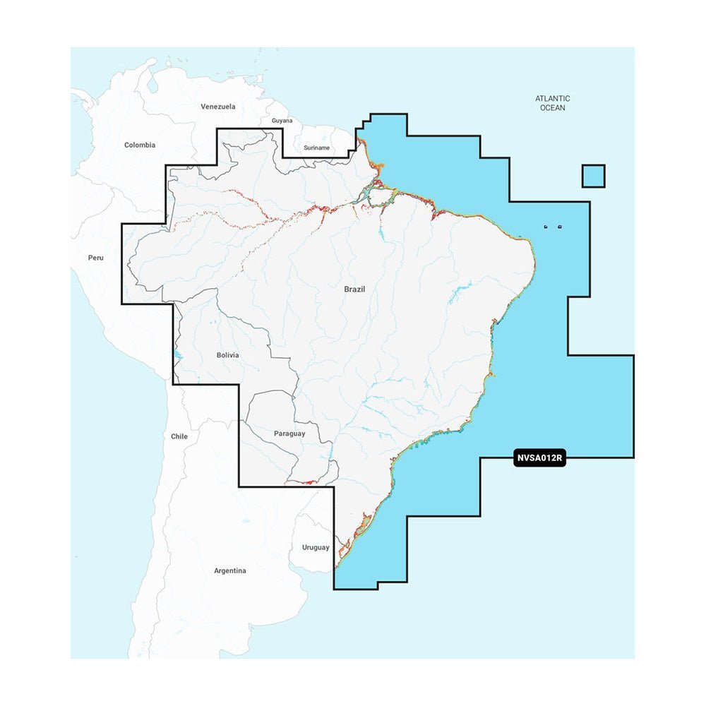
Garmin Navionics Vision+ NVSA012R Brazil is an all‑in‑one map solution for Garmin chartplotters, blending Navionics Vision+ detail with Garmin navigation to cover Brazil’s coast and inland waterways—with worldwide coverage for how you navigate on the water.
-
Format: MicroSD/SD format for quick installation and viewing on Garmin devices; supports multiple chart layers and overlays.
-
Coverage: Brazil coast and Amazon coverage with detailed shorelines and waterways, including the Amazon River from Benjamin Constant to the Atlantic Ocean.
-
Daily updates: Up to 5,000 updates every day, with a one‑year subscription that provides access to daily updates via the ActiveCaptain app.
-
Auto Guidance+: Dock‑to‑dock, channel, inlet, and marina‑entrance routing for safer, faster navigation.
-
Depth & contours: Depth range shading across up to 10 color‑shaded target ranges and up to 1' depth contours; shallow water shading highlights hazards in swamps, canals, harbors, and more.
-
Visualization: Premium visuals including High‑Resolution Relief Shading, High‑Resolution Satellite Imagery and Aerial Photography, and a 3D Fisheye View for an underwater perspective of bottom contours.
-
ActiveCaptain community: Access community‑sourced POIs, marinas, anchorages, hazards, businesses, and recommendations from other boaters for practical on‑the‑water decisions.
-
One‑year subscription: Includes daily chart updates and new content downloads to keep maps current as coastal features and inland resources evolve.
-
Global mapping: Integrated Garmin and Navionics content designed to support worldwide coverage beyond Brazil’s shores.
This solution helps you plan safer, more efficient routes, discover productive fishing spots, and stay current with evolving coastlines and inland water features. With Auto Guidance+ routing, rich depth data, premium visualization, and a thriving on‑water community, you can navigate Brazil’s coastal waters and inland lakes with confidence.