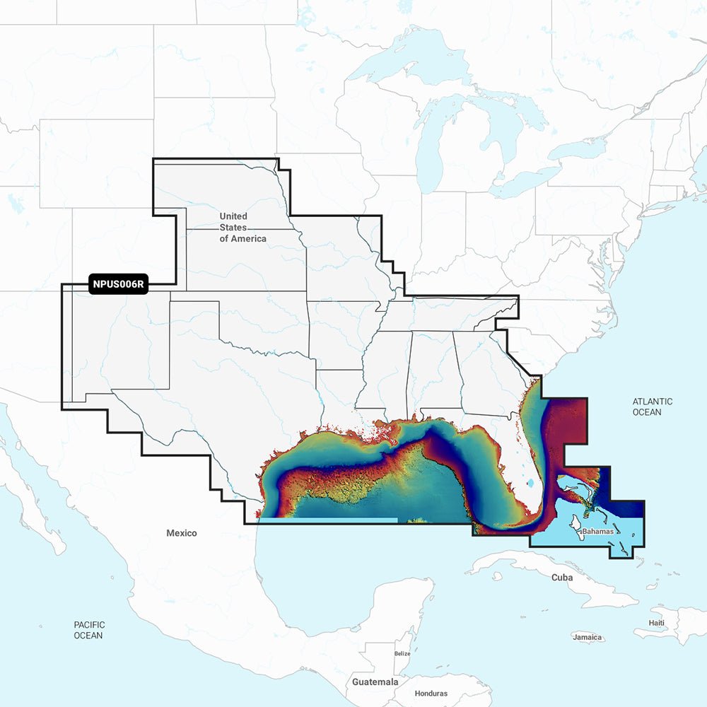
Garmin Navionics Vision+ NVUS006R U.S. South delivers a powerful, all-in-one marine mapping experience by pairing Garmin’s trusted navigation ecosystem with Navionics+ cartography. It’s designed for boaters who want up-to-date, detail-rich charts for coastal waters, lakes, rivers, and offshore passages on compatible chartplotters.
-
All-in-one mapping bundle: Combines Garmin’s navigation ecosystem with Navionics+ cartography for seamless planning and navigation.
-
SonarChart HD bathymetry: 1' (0.5 m) contours reveal bottom structure in greater detail.
-
Dock-to-dock route guidance: Plan channels, inlets, marina entrances, and more (availability depends on chartplotter).
-
SonarChart Live: Real-time, on-device creation of 1' HD bathymetry maps while you navigate.
-
Live mapping and Plotter Sync: Wireless daily updates to keep charts current via the Navionics Boating app (subscription required for the area).
-
Navionics Chart Installer: Keeps chart data fresh with easy updates before every trip.
-
Community Edits: View user-contributed local information on your chartplotter.
-
Shallow water shading & fishing-range: Visual tools to highlight target depths and enhance fishing planning.
-
Worldwide microSD coverage with annual updates: Global coverage with renewable cartography updates; first year included.
-
Compatibility: Designed to work with Echomap UHD, Echomap Ultra, GPSMAP series, and more (see list in product specs).
This package delivers precise depth data and intuitive planning tools to help you navigate smarter and fish better. Real-time SonarChart Live lets you map new hotspots on the go, while daily Plotter Sync updates ensure you’re backed by the latest charts. Community Edits bring local knowledge to your screen, and shallow-water shading helps you target safe passages and productive fishing zones. With broad worldwide coverage and regular cartography updates, you can rely on up-to-date information across coastal passages, lakes, rivers, and offshore routes on compatible Garmin devices.