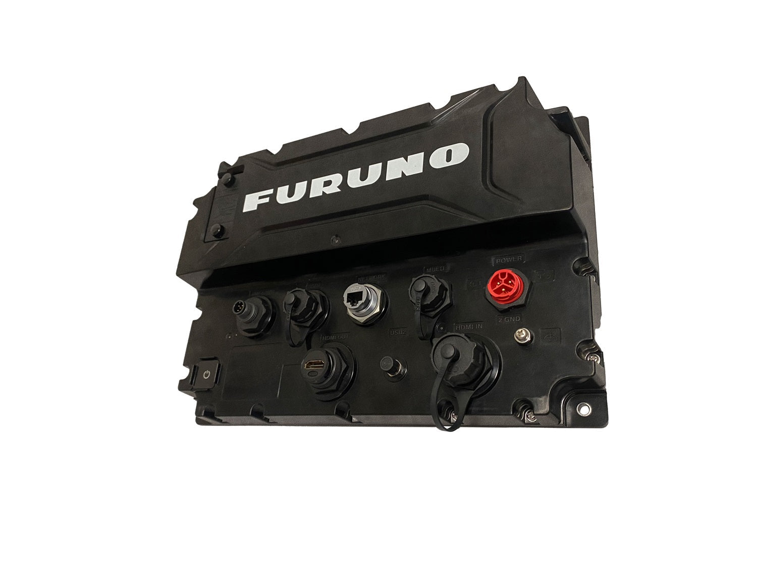
Furuno TZTBBX Black Box Processor, paired with TZtouchXL, offers a scalable, modular navigation platform designed for serious captains who demand a tailored helm. It merges advanced charting, flexible radar and sonar options, and an intuitive touch interface to elevate on‑board navigation.
-
Platform: Modular black box processor that works with NavNet TZtouchXL to deliver a scalable, configurable navigation solution.
-
NavNet TZtouchXL UI: Highly intuitive interface with edge-swipe and single-tap menus for quick access to controls and charts.
-
Radar compatibility: Supports magnetron or solid-state Doppler radars to match varying sensing needs.
-
Integrated sensors and tools: Includes high-powered fish finders, AIS, autopilot, and Deep Water Multibeam Sonar options for comprehensive situational awareness.
-
TZ MAPS with BathyVision: Advanced electronic charts with customizable depth shading, bathymetric data overlays, and multiple color themes.
-
Custom charts and objects: Create or update charted objects (e.g., buoys) and share custom objects with TZ MAPS users via TimeZero's moderated service.
-
AI Routing: Purchase TZ MAPS charts to unlock AI-powered routing that considers draft, depths, and navigational obstacles.
-
Mobile planning and data transfer: TZ MAPS charts unlock in the free TZ iBoat app, enabling waypoints and routes to be transferred to the TZtouchXL.
-
Cloud backup and cross-device access: With a free TimeZero account, waypoints and routes can be backed up or retrieved from the cloud for safekeeping and shared across devices.
-
BathyVision overlays: Bathymetric data with contour lines enhances underwater visualization on TZ MAPS.
-
Secure, seamless data ecosystem: Real-time updates to charted objects and seamless data sharing across TZTBBX and TZtouchXL for coordinated navigation.
With TZTBBX and TZtouchXL, you gain a tailored helm experience: precise bathymetric views, flexible data downloads, intelligent routing, and seamless data sharing across devices. The platform supports secure cloud backups and real-time chart updates, helping you navigate coastal waters or venture into deep blue with confidence.