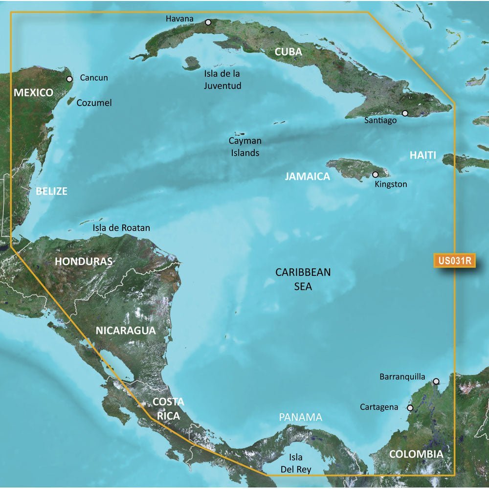
Garmin BlueChart g3 HD HXUS031R on microSD/SD provides official chart data and harbor‑level detail for voyages along the Southwest Caribbean, helping mariners plan precise routes with confidence.
-
Format: microSD/SD cartography
-
Coverage: Premium coastal coverage of the northern coast of Central America—from Cancun, Mexico to Barranquilla, Colombia—and includes the Panama Canal in its entirety; also covers the northern half of the Gulf of Panama and the coasts of Cuba, Jamaica, and the Caymans in their entirety
-
Depth data: 1-foot depth contours provide a precise depiction of bottom structure for improved navigation
-
Depth shading: Depth Range Shading displays up to 10 depth ranges for quick depth awareness
-
Shallow water shading: Shallow Water Shading at a user-defined level to aid navigation through shallow channels
-
Navigational aids: Actionable navigational aids, spot soundings, tides and currents, and detailed harbors and marinas
-
Chart detail: Advanced chart detail to guide your boat in and out of port with confidence
-
Data sources: Derived from official charts and private sources, providing high-resolution depth shading and up-to-date harbor data
-
Prop 65 Warning: Prop 65 Warning: This product can expose you to chemicals which are known to the State of California to cause cancer, birth defects or other reproductive harm. For more information go to P65Warnings.ca.gov.
-
Return policy note: This product may not be returned to the original point of purchase. Please contact the manufacturer directly with any issues or concerns.
With 1-foot depth contours and depth shading, you can assess bottom structure and navigate shallow channels more reliably. Harbor-level detail supports safer port entries and docking, while up-to-date harbor data helps you plan routes and identify fishing hotspots along Caribbean coastlines.