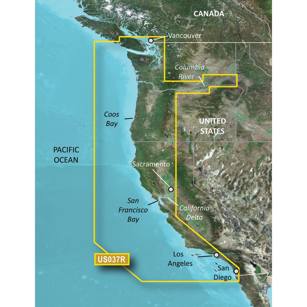
Navigate the West Coast with precision using Garmin BlueChart g3 Vision HD on VUS037R for microSD/SD. Designed for serious sailors and anglers, this premier coastal navigation chart delivers detailed offshore and nearshore guidance from Vancouver, BC to the Mexican border.
-
Coverage: Comprehensive West Coast mapping from Vancouver, BC to the Mexican border, with detailed detail of Puget Sound, San Francisco Bay, California Delta, San Diego Harbor, the Columbia and Snake Rivers, and Sacramento and Stockton.
-
Visual detail: High-resolution relief shading blends color and shadow for clearer view of bottom structure; up to 1‑foot contours for precise depiction of seabed features; Depth Range Shading supports up to 10 depth ranges for quick planning at a glance.
-
3-D and imagery: MarinerEye and FishEye perspectives provide context above and below the waterline; high-resolution satellite imagery shows ports, marinas, bridges, and navigational landmarks for superior situational awareness.
-
Navigation tools: Auto Guidance technology calculates routes based on your desired depth and overhead clearance to suggest a recommended path; integrated Garmin and Navionics data deliver precise contours and contextual detail.
-
Compatibility and access: MicroSD/SD compatibility for easy installation across compatible Garmin devices; NOAA Raster Cartography can be accessed as a free download via the ActiveCaptain app for a traditional paper-chart feel on screen.
-
Ideal for: Coastal explorers and anglers plotting coastal cruises, navigating busy harbors, or seeking productive fishing grounds with depth, detail, and clear guidance.
With BlueChart g3 Vision HD, benefit from trusted coastal detail, intelligent routing, and rich visualization that helps you stay on course from Vancouver to San Diego and beyond—elevating both navigation confidence and fishing opportunities.