Garmin Louisiana West Standard Mapping Professional delivers precision coastal mapping for serious boaters, anglers, and coastal planners. Built for Garmin chartplotters, this data layer brings high-resolution coastal imagery, exact boundary delineation, and local feature labels to your screen, helping you navigate Louisiana’s western coast with confidence.
Designed for professional use, this mapping solution enhances situational awareness by clearly marking critical zones and transitions on your display.
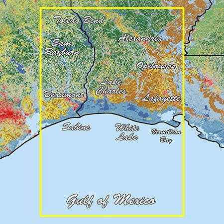
Key features
- Sectioned coastal aerial overlay with high-resolution imagery for accurate shoreline and depth awareness
- Outlines these areas in white with distinctive white dot markers to identify key zones
- See exactly when crossing between state and federal waters with clear boundary cues
- Local names for waterways and land features are labeled for quick recognition
- Outlines Wildlife Management Areas and Offshore Lease Areas for responsible navigation
- Added value from Standard Mapping's professional staff, delivering expert insights and ongoing support
- Model: 010-C1173-00
Ideal for charter captains, commercial operators, and serious coastal explorers, Garmin Louisiana West Standard Mapping Professional helps you plan routes, anticipate features, and navigate with confidence across Louisiana’s western waters.