The Garmin LVUS107F LakeVu g3 Ultra US - West is a premium inland lake mapping card designed for boaters and anglers who demand detailed, reliable lake data across the western United States.
-
Wide lake coverage: More than 17,000 lakes with 1' contours, including 150+ Garmin Elite survey lakes; the West card adds 5,900+ HD lakes with 1' contours and 75+ Garmin Elite survey lakes.
-
Ultra-precise 1' contours: Depth contours offer one-foot precision, sourced from integrated Garmin and Navionics data.
-
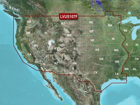
West-of-Mississippi coverage: Inland maps covering the continental U.S. west of the Mississippi River for West Coast and inland routing details.
-
Smart navigation with Auto Guidance: Input your desired depth and overhead clearance, and Auto Guidance calculates a safe, efficient route with a suggested path to follow.
-
High-contrast relief shading: High-resolution shading blends color and shadow to reveal bottom structure more clearly than contours alone.
-
Adaptive map viewing: Adjust maps to the lake’s current water level to quickly identify spots that are accessible or too shallow to explore.
-
Perspective from above and below: MarinerEye and FishEye views provide context both above and below the water line for better depth awareness and fishing potential.
-
Integrated data with LakeVü g3 Ultra: Combines industry-leading coverage with precise contours and integrated Garmin and Navionics data for reliable navigation and smarter fishing opportunities.
Whether you’re planning an exploratory run, charting a favorite lake, or seeking hidden hotspots, this map card brings clarity, confidence, and efficiency to every trip. Leverage expansive western coverage, precise 1' contours, and intelligent routing to navigate more effectively, spot shallow areas quickly, and target productive depths with greater precision.