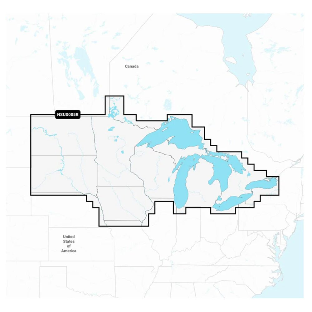
Garmin Navionics+ NSUS005R for U.S. North & Great Lakes is an all-in-one marine mapping solution that blends Navionics+ content with Garmin compatibility, delivering up-to-date, detail-rich charts for coastal waters, lakes, and rivers.
-
Integrated Garmin and Navionics content: Seamless coverage and clarity in a familiar look and feel across supported Garmin devices.
-
SonarChart HD bathymetry: 1’ (0.5 m) contour lines for a deeper understanding of bottom structure and fishing potential.
-
Dock-to-dock route guidance: Plan paths through channels, inlets, and marina entrances (for planning purposes; not a substitute for safe navigation).
-
Plotter Sync: Wireless access to daily updates via the Navionics Boating app (subscription required for the same area).
-
Navionics Chart Installer: Ensures the freshest chart data with every update.
-
Community Edits layer: View local, user-contributed information on your chartplotter.
-
SonarChart Live mapping: Real-time 1’ HD bathymetry maps on compatible plotters while you navigate.
-
Shallow water shading: Depth shading up to a user-defined level to aid safe navigation and targeted fishing.
-
Fishing range advanced feature: Highlights a user-defined target depth range for productive fishing.
-
Worldwide coverage: Supports boating adventures across global waters.
-
MicroSD card with updates: Available with updates via an annual renewable subscription (first year included).
-
Broad Garmin device compatibility: Works with Echomap UHD (7/9) and Echomap Ultra (10/12), GPSMAP 10X2/12X2, GPSMAP 12X2 Touch, GPSMAP 7X2/9X2/12X2 Plus, GPSMAP 7X3/9X3/12X3, GPSMAP 8400/8600, and GPSMAP 8700 Black Box.
This solution helps you navigate with confidence, plan efficient routes through tricky waterways, and locate productive fishing spots with precision. Daily updates keep coastlines, depths, and new navigational information current, while real-time bathymetry and shallow-water shading enhance safety and opportunity on every trip.