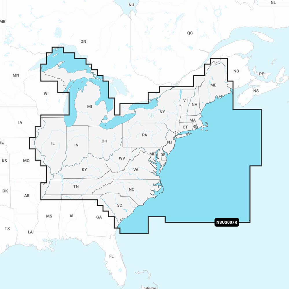
Experience the Garmin Navionics+ NSUS007R U.S. East—the world’s No. 1 marine mapping for compatible chartplotters. This all-in-one solution brings up-to-date Navionics+ charts to your device, delivering detailed mapping of coastal areas, lakes, rivers, and more with the trusted clarity you expect from Garmin and Navionics.
-
1' SonarChart HD bathymetry: detailed bottom structure at 1-foot (0.5 m) resolution for smarter navigation and fishing decisions.
-
Dock-to-dock route guidance: planning paths through channels, inlets, and marina entrances using your boat settings and common routes.
-
Live mapping / SonarChart Live: create real-time 1' HD bathymetric maps on compatible plotters as you navigate.
-
Plotter Sync: wireless access to daily updates via the Navionics Boating app (active area subscription required).
-
Navionics Chart Installer: ensures you’re using the freshest chart data before you head out.
-
Community Edits: view local insights contributed by Navionics Boating app users on your chartplotter.
-
Shallow water shading: highlights depths up to a user-defined level for safer navigation and better fishing planning.
-
Fishing range: highlight a target depth range to locate prime bite zones.
-
Worldwide coverage: broad map availability with easy microSD card compatibility and ongoing updates via subscription.
-
Seamless access on Garmin devices: extensive compatibility with Echomap UHD, Echomap Ultra, GPSmap series, and more for effortless chart integration.
-
MicroSD card compatibility: simple installation and portability of your charts.
-
First-year updates included: annual renewable subscription keeps charts current from day one.
Upgrade your marine navigation with Navionics+ on Garmin for comprehensive coverage, precise depth data, and timely updates that keep you one buoy ahead. The NSUS007R U.S. East delivers trusted mapping that enhances both navigation and fishing, helping you plan smarter and fish smarter on every voyage.