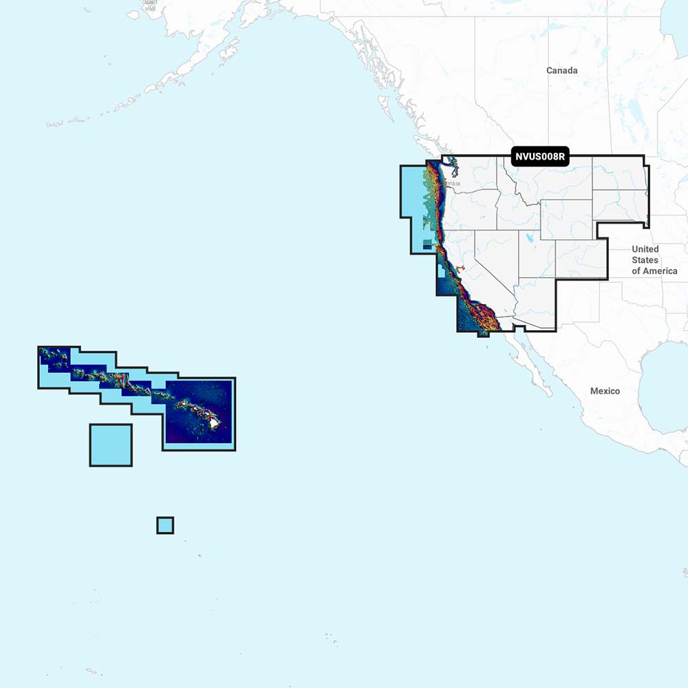
Garmin Navionics Vision+ NVUS008R U.S. West delivers up-to-date, integrated marine mapping on compatible Garmin chartplotters for serious mariners and anglers. It combines Navionics’ premium Vision+ data with Garmin hardware to cover coastal, lake, and river navigation with depth and planning tools.
-
Integrated Garmin and Navionics content: Delivers coverage, clarity, and a familiar interface on your chartplotter through combined data streams.
-
SonarChart HD bathymetry: Up to 1’ (0.5 m) contour intervals for a detailed view of bottom structure and underwater features.
-
Dock-to-dock route guidance: Helps plan safe passages through channels, inlets, and marina entrances (availability depends on chartplotter model).
-
Live mapping and SonarChart Live: Create and view real-time 1’ HD bathymetry on compatible devices while you navigate.
-
Plotter Sync and Navionics Boating app: Wireless access to daily updates; active-area subscription required for the same area.
-
Navionics Chart Installer: Ensures the freshest chart data with easy updates.
-
Community Edits: Local knowledge from Navionics Boating app users is distributed to your chartplotter for enhanced context.
-
Shallow water shading and Fishing Range: Visual cues for depths and prime fishing spots at a glance.
-
Worldwide coverage: Maps extend wherever your voyage takes you, across coastal areas, lakes, and rivers.
-
Compatibility: Spans a wide range of Garmin devices, including Echomap UHD (7/9) and Echomap Ultra (10/12), GPSMAP 10X2/12X2, GPSMAP 12X2 Touch, GPSMAP 7X2/9X2/12X2 Plus, GPSMAP 7X3/9X3/12X3, GPSMAP 8400/8600, and GPSMAP 8700 Black Box.
-
Updates and subscriptions: Available on microSD cards with an annual renewable subscription; first year of updates included. Daily updates are accessible via Navionics Chart Installer or Plotter Sync using the Navionics Boating app (subscription required for the same area).
With Navionics Vision+ on Garmin, you gain precise depth data, reliable route planning, and ongoing updates that adapt to your voyage—whether you’re fishing offshore, navigating winding rivers, or cruising the coast. The combination of SonarChart HD, real-time depth information, and community-driven local knowledge helps you target productive depths, avoid hazards, and plan efficient passages. Designed for broad Garmin compatibility, it’s a comprehensive solution that elevates your navigation confidence and fishing opportunities.