The Garmin NSUS007R Navionics+ U.S. East microSD is a ready-to-use marine map bundle for Garmin chartplotters, combining Navionics+ detail with Garmin reliability to illuminate coastlines, rivers, and inland waters along the U.S. East Coast.
-
Integrated Garmin and Navionics+ U.S. East mapping: Updated color palette and Navionics-style presentation for clear, intuitive interpretation on screen.
-
Daily chart updates via ActiveCaptain app: Fresh data and navigation insights delivered to your mobile device or compatible chartplotter.
-
Auto Guidance+ dock-to-dock routing: Plans routes based on depth, overhead clearance, chart data, and frequently traveled paths (for planning purposes only; not a substitute for safe navigation).
-
NOAA raster cartography: Free downloadable feature via the ActiveCaptain app, viewable on mobile devices or compatible chartplotters.
-
Depth range shading: Up to 10 color options to quickly assess target depths at a glance.
-
Up to 1-foot contours: Detailed depiction of bottom structure to support fishing and navigation decisions.
-
Shallow water shading: Highlights depths up to a user-defined level to improve situational awareness in shallow regions.
-
ActiveCaptain community content: POIs, recommendations, and advice from boaters with firsthand experience of local waters.
-
Annual chart updates: Renewable subscription with the first year included — keep maps current year after year.
-
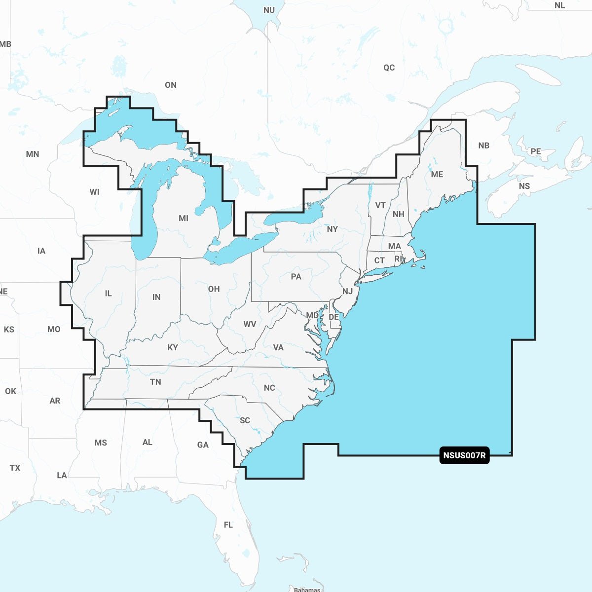
Extensive U.S. East coverage: Coastal features, lakes, rivers, and inland waters across multiple states including CT, DE, IL, IN, KY, ME, MD, MA, MI, NH, NJ, NY, NC, OH, PA, RI, SC, TN, VT, VA, and WV.
-
Compatibility with Garmin chartplotters: Seamless integration for enhanced navigation, fishing, and plotting experiences.
-
Navionics+ U.S. East bundle benefits: Depth-aware navigation, planner-friendly Auto Guidance+, real-time updates, and rich community insights.
With Navionics+ U.S. East on Garmin hardware, you’ll enjoy current charts, depth-aware planning, and community-driven local knowledge—empowering safer, more confident cruising and fishing across coastal, river, and inland waters. The package supports planning with depth, provides dynamic updates via ActiveCaptain, and includes a first-year update subscription to keep maps current year after year. Remember that Auto Guidance+ serves as a planning tool and should not replace safe navigation practices on the water.