The Garmin NSUS008R Navionics+ U.S. West microSD blends Garmin mapping with Navionics+ detail to deliver comprehensive, depth-aware marine charts for western U.S. waters. Designed for use in compatible chartplotters, it helps boaters plan routes, navigate with confidence, and explore with rich coastal and inland detail.
-
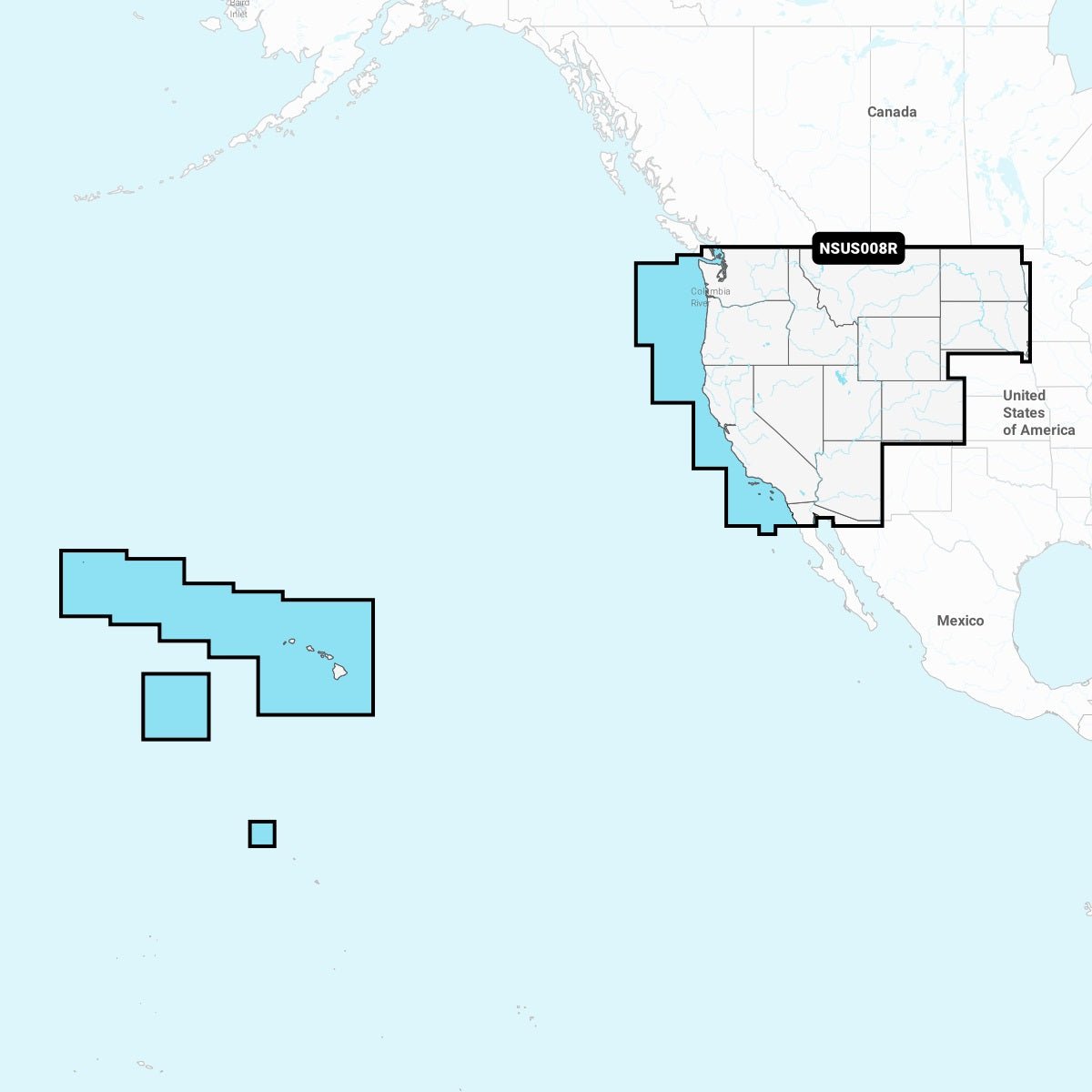
Coverage: Navionics+ U.S. West comprehensive coverage across the western United States—lakes, rivers, coasts—and extends to Hawaii, the Johnston and Palmyra Atolls.
-
Integrated content: Integrated Garmin and Navionics+ data on a single microSD for a seamless mapping experience on compatible chartplotters.
-
Auto Guidance+: Provides a suggested dock-to-dock path through channels, inlets, and marina entrances by considering your depth preference, chart data, and common routes. (Planning only, not a substitute for safe navigation.)
-
Updates: Annual cartography updates available; first year of updates included to keep charts current across major regions.
-
ActiveCaptain connectivity: Access daily chart updates via the ActiveCaptain app; NOAA raster cartography is available as a free downloadable feature via ActiveCaptain and can be displayed on mobile devices or compatible chartplotters; ActiveCaptain community content adds POIs and local insights.
-
Depth and bottom detail: Depth range shading with up to 10 color options and detailed bottom contours up to 1-foot intervals for precise depth understanding—beneficial for navigation and fishing.
-
Shallow water shading: Shallow water shading highlights depths up to your chosen limit for safer, more productive planning.
-
Maritime features: Coastal features, inland waterways, and marinas with rich detail to support navigation, planning, and fishing.
-
Overall utility: A powerful toolset for planning routes, analyzing depths, and discovering new fishing spots with precise data layers. This microSD empowers you to plan with confidence, navigate with depth-aware clarity, and uncover new fishing spots with reliable, up-to-date data.
From dock-to-dock route ideas to precise bottom contours and coastal-marina detail, it helps you manage risk and maximize your time on the water. Updates and ActiveCaptain community insights keep your charts current and locally relevant, so you can plot, anchor, and explore with a Navionics+ edge.