Unlock the power of Navionics+ on Garmin with the NSUS012R microSD. This all-in-one mapping solution combines Garmin and Navionics content with a refreshed color palette for exceptional coverage, clarity, and detail across Canada’s East coast and the Great Lakes.
Key features
-
Integrated Garmin and Navionics+ content with an updated color palette and Navionics-style appearance for easy interpretation and vivid detail.
-
Daily chart updates via the ActiveCaptain app to keep your maps current on every voyage.
-
Auto Guidance+ technology calculates a dock-to-dock path using your desired depth and overhead clearance, chart data, and frequently traveled routes (planning purposes only; does not replace safe navigation).
-
NOAA raster cartography available as a free downloadable feature via ActiveCaptain and viewable on your mobile device or compatible chartplotter.
-
Depth range shading lets you choose up to 10 color options and view target depths at a glance.
-
Up to 1’ depth contours provide a more detailed depiction of bottom structure for better fishing and navigation.
-
Shallow water shading highlights depths up to a user-defined level to aid in safe navigation near shore and in shallow channels.
-
ActiveCaptain community content delivers valuable POIs, recommendations, and advice from boaters with firsthand experience of local waters.
-
Annual cartography updates available via renewable subscription (first year of updates included).
-
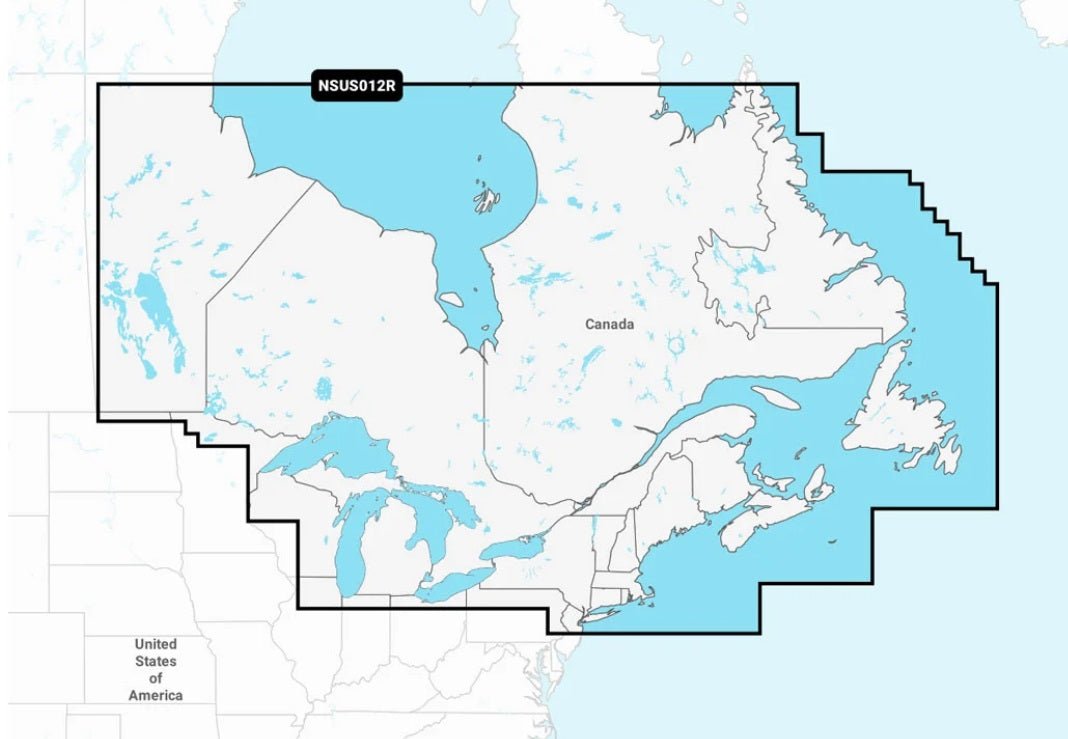
Extensive coverage of coastal and inland waterways—from Eastern Canada (excluding YT and NU) to all Great Lakes, the St. Lawrence River, The Maritime Provinces, and the Grand Banks.
-
Downloadable NOAA raster imagery offers the familiar look of paper charts for enhanced situational awareness.
Plot your paradise with the best Garmin Navionics+ marine cartography on your chartplotter—designed for offshore passages and inland adventures alike, with up-to-date data, powerful routing, and intuitive depth visualization.