Garmin Navionics+ Canada, West & Alaska on microSD is a comprehensive marine chart solution designed for boaters exploring western Canada and Alaska. It blends Garmin and Navionics+ data with a modern color palette for clear, detailed mapping across coasts, lakes, rivers, and beyond.
-
Integrated Garmin and Navionics+ data: A seamless blend of Garmin and Navionics+ content with a contemporary color scheme for detailed coastal, lake, and river mapping.
-
Daily chart updates via ActiveCaptain: Access fresh navigation data every day through the ActiveCaptain® app.
-
NOAA raster cartography: Free downloadable option via ActiveCaptain®, viewable on your mobile device or compatible chartplotter.
-
NOAA raster imagery option: Downloadable raster imagery offering the familiar look of paper charts on your device.
-
Depth range shading: Up to 10 color options to quickly view target depths at a glance.
-
1’ contour detail: Enhanced depiction of bottom structure to aid fishing and navigation.
-
Shallow water shading: Highlights depths up to a user-defined level for safer shallow-water routing.
-
Auto Guidance+ technology: Uses desired depth, overhead clearance, chart data, and frequently traveled routes to calculate a dock-to-dock suggested path (planning purposes only; not a substitute for safe navigation).
-
ActiveCaptain community content: Valuable POIs, recommendations, and local insights from boaters with firsthand experience of the region.
-
Annual cartography updates: Renewable subscription, with the first year of updates included.
-
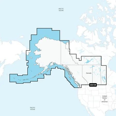
Extensive coverage: Coastal and inland waterways of western Canada and Alaska, including Vancouver Island, Puget Sound, and the Aleutian Islands.
With up-to-date charts, precise bottom detail, and robust routing tools, this Navionics+ card helps you plan safer trips, discover new fishing spots, and navigate with confidence across some of North America’s most dynamic waters. The ActiveCaptain community and automatic updates ensure you stay informed and prepared for every journey.