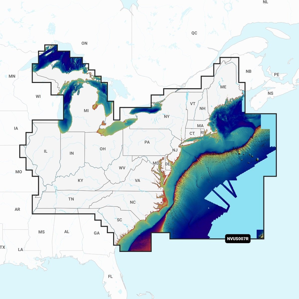
The Garmin NVUS007R Navionics Vision+ U.S. East microSD bundles Garmin’s navigation platform with Navionics Vision+ data to deliver detailed charts for coastal waters, lakes, and rivers along the U.S. East. It’s designed for boaters who want up-to-date data, rich visuals, and powerful planning tools in one ready-to-use microSD package.
-
All-in-one navigation bundle: Combines Garmin’s navigation platform with Navionics Vision+ data for comprehensive coverage across coastal waters, lakes, and rivers.
-
Daily chart updates: ActiveCaptain® app delivers fresh chart data so you sail with current information.
-
High-resolution relief shading: Color and shadow highlight bottom structure beyond contours for clearer underwater understanding.
-
Auto Guidance+ technology: Uses your desired depth, overhead clearance, chart data and common routes to suggest a safe dock-to-dock path (planning purposes only).
-
Satellite imagery and aerial photography: High-resolution imagery overlaid with navigational charts and port/landmark views for better situational awareness above the waterline.
-
Side scan imagery: Available on select U.S. lakes to reveal submerged features such as fallen timber, fish attractors, wrecks, and hazards.
-
Sonar imagery: Color-coded bottom hardness to highlight subtle and dramatic transitions on select U.S. lakes.
-
3D views: MarinerEye and FishEye provide perspectives above and below the water line.
-
NOAA raster cartography: Free download via the ActiveCaptain app and displayable on mobile devices or compatible chartplotters.
-
Depth range shading: Up to 10 color options with contours reaching up to 1-foot increments for detailed bottom depictions.
-
Shallow water shading: Highlights depths up to a user-defined level for safer navigation near shores and channels.
-
ActiveCaptain community content: POIs, recommendations, and local knowledge from fellow boaters.
-
Cartography updates: Annual renewable subscription with the first year of updates included.
-
Extensive regional coverage: Lakes, rivers and coasts of Connecticut, Delaware, Illinois, Indiana, Kentucky, Maine, Maryland, Massachusetts, Michigan, New Hampshire, New Jersey, New York, North Carolina, Ohio, Pennsylvania, Rhode Island, South Carolina, Tennessee, Vermont, Virginia and West Virginia.
-
Premium marine cartography: Navionics Vision+ premium charts designed for offshore and inland waters, providing precise depth data and intuitive features.
This bundle delivers up-to-date, visually rich mapping with advanced planning tools to help you chart safer, more informed routes across the U.S. East waters you explore—backed by reliable data, community insights, and flexible updates for continued accuracy.