The Garmin NVUS008R Navionics+ Vision+ U.S. West microSD is an all-in-one marine navigation solution that blends Garmin and Navionics content with a refreshed color palette for clear, detailed coverage across coastal zones, lakes, and ports. It’s designed for boaters who want up-to-date charts, rich context, and intuitive planning tools for coastal cruising, fishing, and inland waterway adventures.
-
Integrated Garmin and Navionics Content: Unified navigation data with a refreshed Navionics style and color palette for easy interpretation across water types.
-
Updated Color Palette: Clear, intuitive visuals that make chart interpretation quicker and more accurate.
-
Daily Chart Updates via ActiveCaptain: Access the freshest data on the water to keep your charts current.
-
High-Resolution Relief Shading: Color and shadow to reveal bottom structure far more clearly than contour lines alone.
-
Auto Guidance+ Technology: Plans a suggested dock-to-dock route using your chosen depth, overhead clearance, and frequent routes (for planning purposes only).
-
High-Resolution Satellite Imagery: Overlaid with navigational charts for a realistic, familiar view of surroundings.
-
Aerial Photography: Ports, bridges, docks, and landmarks viewed from above to boost situational awareness.
-
Side Scan Imagery (select U.S. lakes): Reveals submerged features such as timber, fish attractors, wrecks, and hazards.
-
Sonar Imagery: Shows bottom hardness and transitions in color to highlight changes on select lakes.
-
3D Perspectives (MarinerEye and FishEye): Adds context above and below the waterline for better interpretation of the underwater environment.
-
NOAA Raster Cartography (via ActiveCaptain): Free download and viewable on mobile devices or compatible chartplotters.
-
Depth Range Shading and Contours: Up to 10 color options and up to 1-foot contours for detailed bottom depictions; shallow water shading aids navigation and planning.
-
ActiveCaptain Community Content: POIs, recommendations, and local insights from fellow boaters enhance planning and on-water decisions.
-
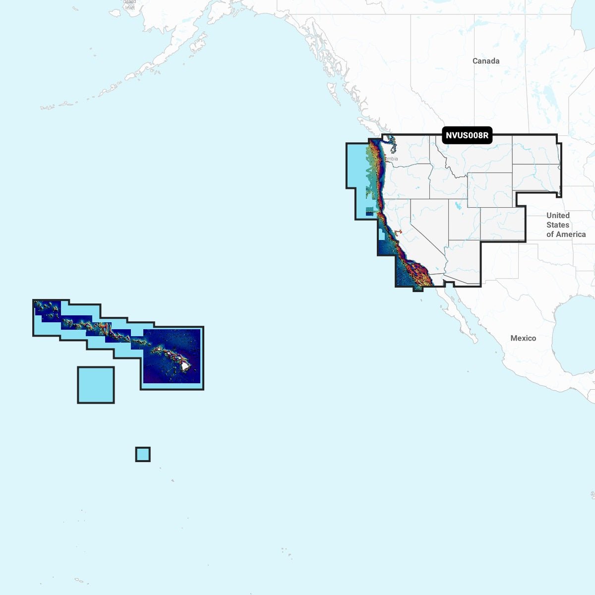
Extensive Regional Coverage: Lakes, rivers, and coasts across multiple states and atolls, including Arizona, California, Colorado, Idaho, Montana, Nevada, North Dakota, Oregon, South Dakota, Utah, Washington, Wyoming, Hawaii, and Johnston/Palmyra Atolls.
-
Cartography Updates: Annual renewable subscription (first year included) keeps charts current as the data evolves.
With this Navionics Vision+ package, you’ll benefit from premier chart detail, intuitive routing, and a trusted data foundation that supports coastal cruising, fishing, and inland waterway exploration. Daily updates, high-fidelity imagery, 3D perspectives, and sonar and side-scan capabilities help you navigate confidently, discover new harbors, and plan efficient routes with real-world context.