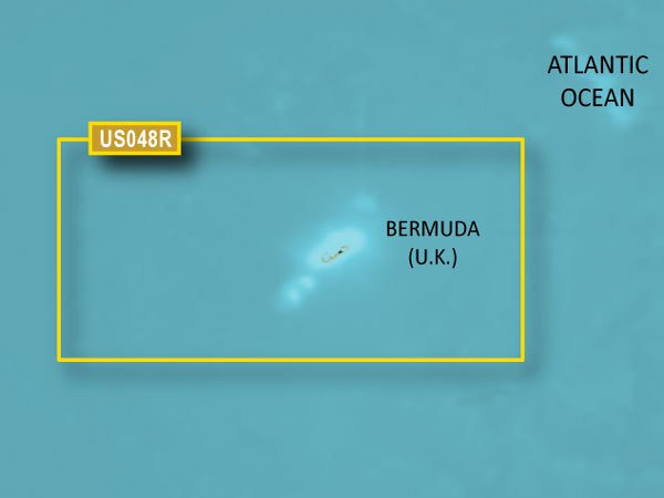
Garmin VUS401S Vision Bermuda is a marine charting solution designed for anglers, cruisers, and coastal navigators who require Bermuda-specific detail and intuitive planning tools. It blends BlueChart g3 Vision Bermuda data with Garmin and Navionics content to deliver ultra-clear charts, smart routing, and immersive 3-D views for safer voyages.
-
BlueChart g3 Vision Bermuda coverage: Extensive Bermuda coastal charts including Saint George’s Island and Harbour, Harrington Sound, Somerset Island, the Great and Little Sounds, Hamilton Island, Castle Harbour, and more.
-
Integrated Garmin and Navionics content: Combines Garmin and Navionics data for comprehensive, single-source mapping.
-
Auto Guidance technology: Calculates a practical route with a recommended path based on your target depth and overhead clearance.
-
Depth range shading: Visualizes depth in up to 10 ranges to help you locate target depths at a glance.
-
Up to 1' contours: Provides precise seabed depictions to enhance navigation and fishing charts.
-
Shallow water shading: Highlights shallow zones to help you avoid hazards and plan safe passages.
-
Raster cartography: Includes NOAA raster options, available as a free download via the ActiveCaptain app, for familiarity with paper charts.
-
High-resolution relief shading: Uses color and shadow to reveal bottom structure more clearly than contour lines alone.
-
Unique 3-D views: Offers three-dimensional perspectives for improved situational awareness.
-
High-resolution relief imagery: Rich imagery to better understand ports, marinas, bridges, and navigational landmarks.
-
Aerial photos: Adds aerial context to help identify harbors and key features.
-
MarinerEye and FishEye views: Additional perspectives above and below the waterline for enhanced awareness.
This Bermuda-focused solution supports safer navigation and smarter decision-making on Bermuda’s waters, with detailed coverage that helps you plan routes, avoid hazards, and optimize fishing and cruising experiences. The combination of integrated data, advanced visualization, and depth-aware tools provides confidence from harbor to offshore, backed by Bermuda-specific detail and practical, everyday benefits.
| BlueChart g3 Vision |
| Integrated Garmin and Navionics content |
Yes |
| Auto Guidance technology |
Yes |
| Depth range shading |
Yes |
| Up to 1' contours |
Yes |
| Shallow water shading |
Yes |
| Raster cartography |
Yes |
| High-resolution relief shading |
Yes |
| Unique 3-D views |
Yes |
| High-resolution relief imagery |
Yes |
| Aerial photos |
Yes |
| BlueChart g3 |
| Integrated Garmin and Navionics content |
Yes |
| Auto Guidance technology |
Yes |
| Depth range shading |
Yes |
| Up to 1' contours |
Yes |
| Shallow water shading |
Yes |
| Raster cartography |
Yes |