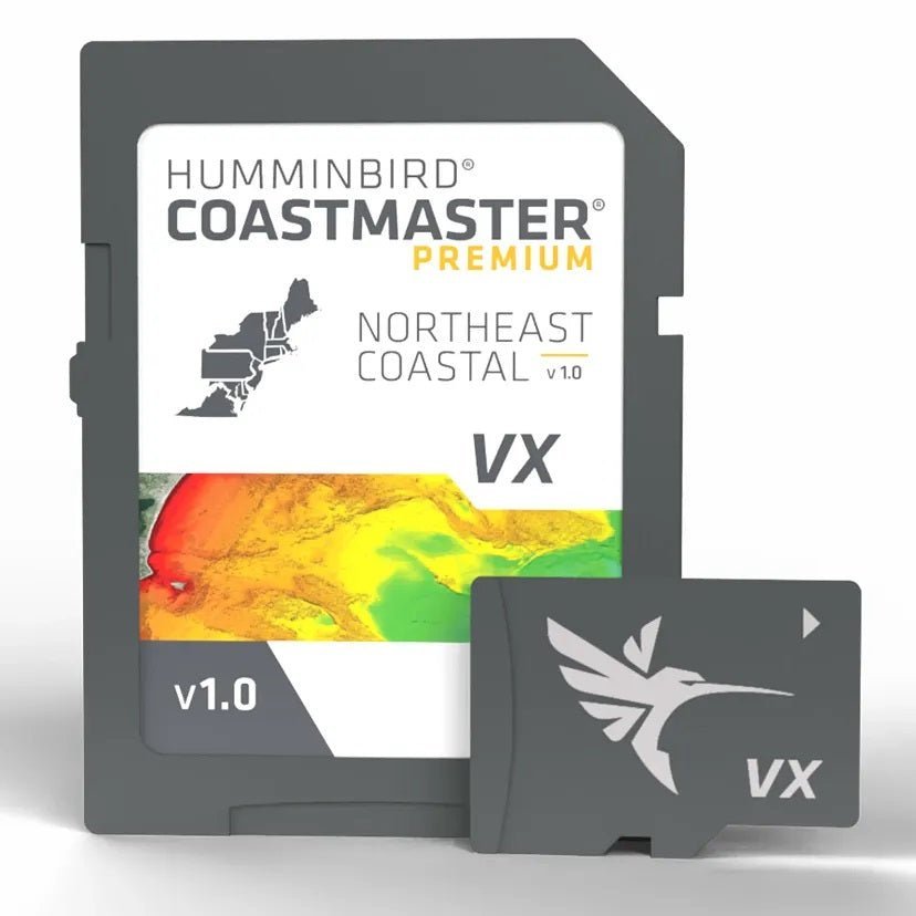
Humminbird CoastMaster Premium Northeast Coastal Chart V1 delivers professional-grade coastal mapping for serious Northeast anglers. Designed to pair with Humminbird HELIX G3/G3N units, SOLIX, APEX, and XPLORE systems, it provides reliable shoreline and contour detail to plan your next big catch.
-
2D Shaded Relief: Makes bottom detail and depth changes easy to spot, helping you quickly identify promising fish-holding areas.
-
Aerial Imagery: Realistic overhead views to navigate with confidence and uncover productive spots.
-
VX Technology: Delivers high-performance map rendering with customizable color palettes for clear, vivid mapping.
-
SmartStrike: Highlights areas where fish are most likely biting, giving you a predictive edge on the water.
-
Select HD Lakes Only Chart Presets: Easily switch between your own custom view settings for quick, on-the-water adjustments.
-
Depth Highlight: Emphasizes a selected depth range so you can target productive water and stay in fishable zones.
-
Shallow Water Highlight: Bold red shading marks shallow areas on an adjustable range from 0 to 60 feet.
-
Water Level Offset: Synchronizes depth contours and shorelines with actual water levels across lakes, reservoirs, and rivers.
-
One-Boat Network: Connects CoastMaster with Minn Kota trolling motors so your boat automatically follows a depth contour line.
-
1-Year Cartography Warranty: Includes dependable coverage on your coastal charts for added peace of mind.
-
Compatibility: Designed to work with Humminbird HELIX G3/G3N, SOLIX, APEX, and XPLORE units for seamless upgrade paths.
If you fish the Northeast coast, CoastMaster Premium Northeast Coastal provides precise shoreline and contour detail, intuitive depth cues, and practical features that help you plan routes, locate prime spots, and navigate safely. With predictive bite zones and automatic depth-contour following through One-Boat Network, this chart enhances your on-water decision-making and overall fishing experience.