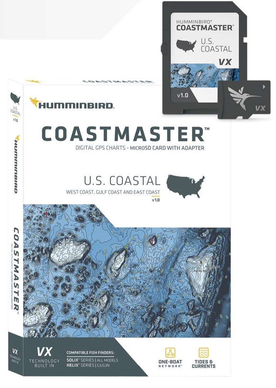
Navigate America’s coast with confidence using Humminbird CoastMaster US Coastal Chart v1. This premium coastal chart is designed for serious coastwise anglers and mariners who demand precise mapping and reliable navigation across all U.S. waters.
-
Coverage: Premium coastal coverage for all U.S. coastal waters, with easy-to-read contours and highlighted depth ranges to help locate productive spots and navigate safely.
-
Visualization & Performance: VX Technology provides five customizable color palettes and faster map load times, so you can see the data that matters in any light and respond on the water without delay.
-
Preset Views: Three preset views—fishing charts, nautical charts, or your own custom view—to switch quickly as conditions change.
-
Predictive Planning Tools: Plan your day with tidal direction and height, current speed and direction, and more for smarter decisions on the water.
-
Depth Highlighting: Create up to four user-defined depth highlight ranges to target productive water and stay in the bite zone.
-
Shallow-Water Cues: Red shading highlights shallow areas (0–30 ft) on an adjustable range for immediate hazards or opportunities.
-
Water-Level Sync: Depth contours and shorelines automatically align with actual water levels for current, accurate navigation.
-
Navigational Data: Access navigational aids, artificial reefs, and points of interest to navigate confidently.
-
Auto Contour Following (i-Pilot): When paired with Minn Kota i-Pilot Link, you can “follow” a selected depth contour for precise, hands-off boat control.
-
Compatibility: Broad compatibility with Humminbird HELIX G3/G3N and all SOLIX units for versatile integration.
-
Warranty & Policy: Includes a 1-year cartography warranty. Opened packages are not eligible for return.
-
Model & Coverage: Humminbird CoastMaster US Coastal Chart v1 (Model 601015-1) with premium coastal coverage for all U.S. coastal waters.
CoastMaster turns complex coastal data into actionable decisions. With water-level synchronized depth contours, tidal information, and current data, you can plan safer routes and time your fishing for peak conditions. Depth highlighting and shallow-water cues help you stay in productive zones and avoid hazards, while i-Pilot contour following offers hands-off control for steady drifts. The chart’s compatibility with a range of Humminbird units ensures seamless integration on your boat, backed by a solid one-year cartography warranty.