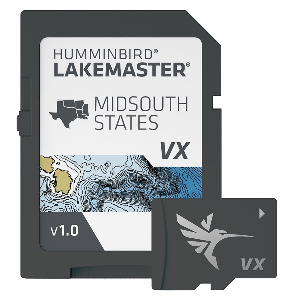
LakeMaster VX – Mid-South States
Introducing Humminbird LakeMaster VX for the Mid-South States — an upgraded mapping solution that helps anglers understand what lies beneath the water’s surface better than ever before. Built on Humminbird’s long-standing tradition of precise, high‑quality mapping, LakeMaster VX takes you to a new level of lake insight with richer data and faster performance.
With VX Technology, LakeMaster maps are packed with more information than ever, including five new customizable color palettes and exceptional map performance. This is the most capable LakeMaster yet, designed to give you a clearer, more actionable view of underwater terrain and structure.
-
SmartStrike technology highlights areas of the lake map where fish are most likely biting (Select HD Lakes Only). Tailor search parameters like season, time of day, temperature, and species to generate a focused chart of productive spots.
-
Chart Presets for simple, fast switching between your preferred custom view settings.
-
Depth Highlight emphasizes a selected depth range so you can target productive water and stay where the fish are.
-
Shallow Water Highlight uses a clear red shading to delineate shallow zones on an adjustable range from 0 to 60 feet.
-
Water Level Offset synchronizes depth contours and shorelines with actual water levels for lakes, reservoirs, and rivers.
-
One-Boat Network connects your LakeMaster chart with a Minn Kota trolling motor, allowing your boat to automatically follow a depth contour line.
The LakeMaster lineup continues to cover the same regions you rely on, now with VX Technology adding depth, detail, and smarter data interpretation. What you see on the LakeMaster map is what’s on the lake bottom — only more clearly and with more actionable functionality for Mid-South waters.
Compatibility: Works with Humminbird HELIX® G3/G3N and newer, all SOLIX® units, and all APEX™ units. Includes a 1-Year Cartography Warranty. Opened packages are not eligible for return.
Upgrade to Humminbird LakeMaster VX for the Mid-South States and turn your chart into a precise, intuitive guide to productive water, helping you cast, navigate, and fish with confidence.